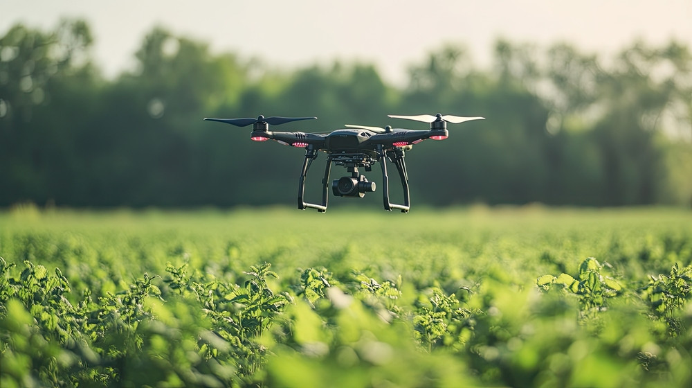
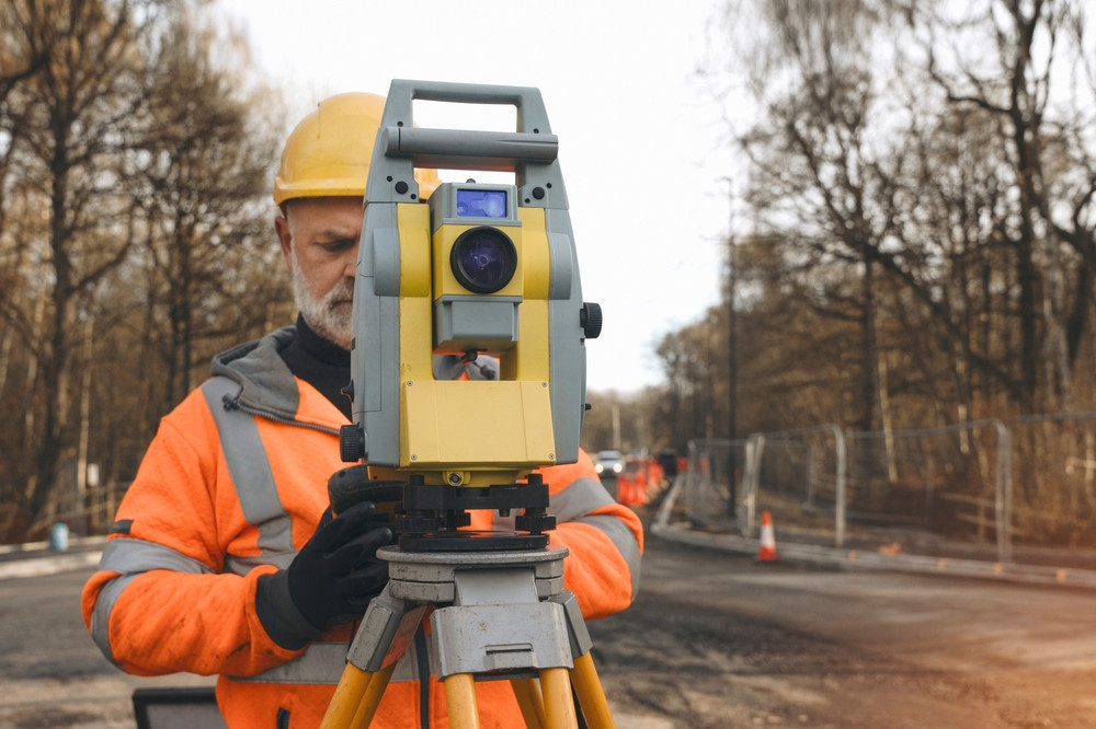
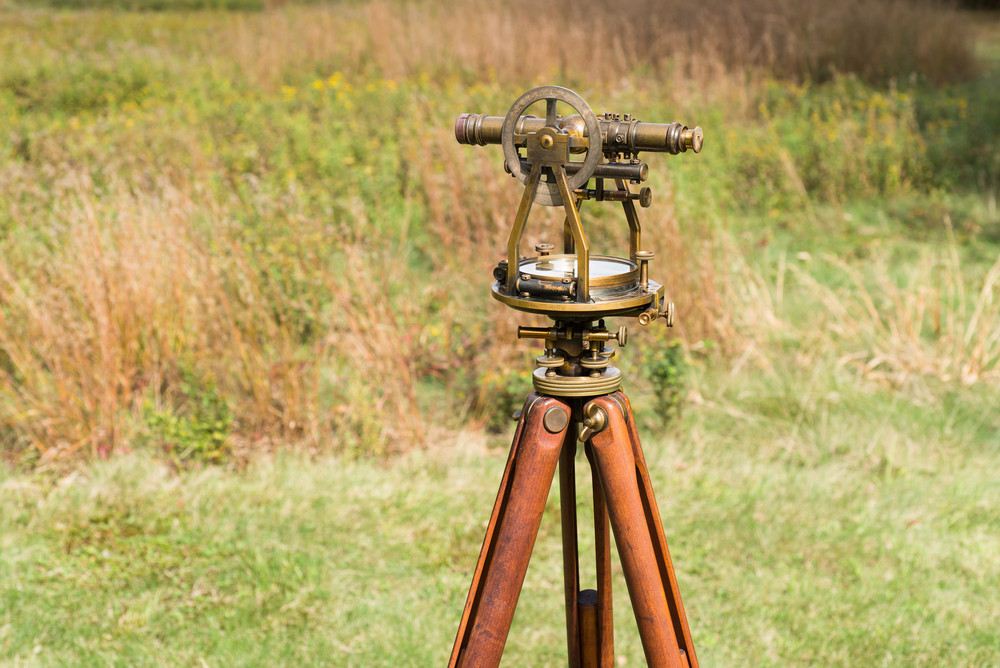
This course introduces surveyors to Remote Sensing Technology, emphasizing its history, development, and groundbreaking applications in the Surveying and Mapping industry. Surveyors will explore how Remote Sensing evolved into one of the most impactful advancements since GPS.
Key topics include the functionality of cameras within Remote Sensing systems, the role of spaceborne photography, and the technologies used to collect data. The course also examines how Remote Sensing processes are translated into practical applications for surveying and map-making, equipping surveyrs with the foundational knowledge to harness this innovative technology in their work.